PLUVIO-PREVENT
Design and development of dynamic and evolving prevention plans in areas whose hazard originates from the intensity of precipitation hazard originates from the intensity of precipitation episodes.
INDEPRO’s R+D+i Department has launched the PLUVIO-PREVENT project focused on the development of services and tools for data processing aimed at calculating floods of rainfall origin, which generally have their origin in short but intense rainfall events and which sometimes have unscheduled events associated with them, such as breakages, traffic jams…
This project is financed by the European Regional Development Fund (ERDF) of the European Union and the Junta de Castilla y León, through the Instituto para la Competitividad Empresarial de Castilla y León (ICE), with the aim of promoting research, technological development and innovation.

File nº: 04/18/AV/0027
Deadline for implementation: March 2023 to March 2024

Objectives
The general objective of the proposed project is to provide a range of services, “Pluvio-Prevent", which will enable dynamic and evolutionary prevention plans to be drawn up in areas whose hazard originates in the intensity of precipitation episodes.
As a second general objective, it is intended that the research tasks and the tools to be designed, together with existing tools, will enable preventive plans to be drawn up that respond to the three main causes of flooding: atmospheric, geographical and anthropic. In addition, INDEPRO will be able, in an agile manner, to simulate infrastructure failures that often lead to increased vulnerability.
The third general objective is the collection of multi-repository data. Pluvio-Prevent will contemplate the collection of structured data from technical information repositories, such as MDT, SIOSE, PNOA, zonal rainfall data, INE, historical records of gauging stations and rainfall stations… but also unstructured data will be collected and taken into account, mainly background and historical data, such as information in the National Catalogue of Historical Floods, historical event information, database of claims data from the Insurance Compensation Consortium, press articles, historical photographs, flood plaques, etc. , which can provide very useful information in the characterisation of flood events.
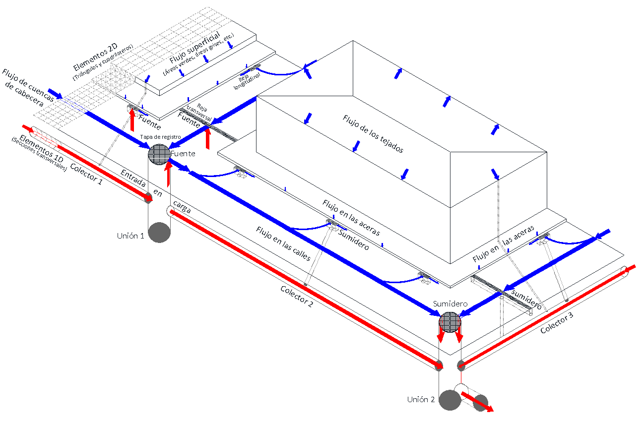
Commercially available tools will be used, such as IBER (two-dimensional hydraulic model), HEC-HMS (hydrological model), possibly TRANSMODELER for traffic and others, and proprietary tools for data capture and processing will be developed. The fourth general objective, based on agile simulation techniques, is to prepare contingency plans, or recommendations, for traffic management in the event of unforeseen situations.
The fifth general objective is the contextualisation of the study areas. Pluvio-Prevent will delve deeper into the socio-economic characterisation of the different areas, and not only into the climatic, geological and hydrographic description.

